Welcome to Our Geospatial Insights Hub
🌍 Explore the Power of Geospatial Analysis with Google Earth Engine Python API!
Our blog dives into the capabilities of this cloud-based platform, designed for large-scale environmental monitoring, urban planning, and scientific research. Whether you’re a researcher, developer, or geospatial enthusiast, you’ll find valuable insights, practical tutorials, and real-world applications right here.
🛰️ Why Google Earth Engine?

- 🌐 Access Vast Geospatial Data: Explore satellite imagery, climate data, elevation models, and more.
- ☁️ Scalable Cloud Processing: Leverage Google’s powerful infrastructure for fast, large-scale analysis.
- 🛠️ Advanced Geospatial Tools: Filter, map, and analyze data with custom algorithms.
- 🐍 Seamless Python Integration: Combine GEE with libraries like Folium and Pandas for enhanced visualization and analysis.
🗺️ What You’ll Learn
- 🚀 Setting up and authenticating the Google Earth Engine Python API
- 🖼️ Accessing and visualizing satellite imagery like Landsat 8 and Sentinel-2
- 🌱 Performing NDVI analysis for environmental monitoring
- 🌆 Real-world use cases in disaster management, urban planning, and ecosystem analysis

Satellite Imagery
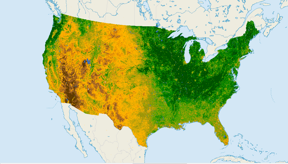
NDVI Analysis
🔗 Discover how Google Earth Engine transforms geospatial data into actionable insights.
Ready to get started? Head over to our blog and explore detailed guides, code examples, and interactive visualizations!